
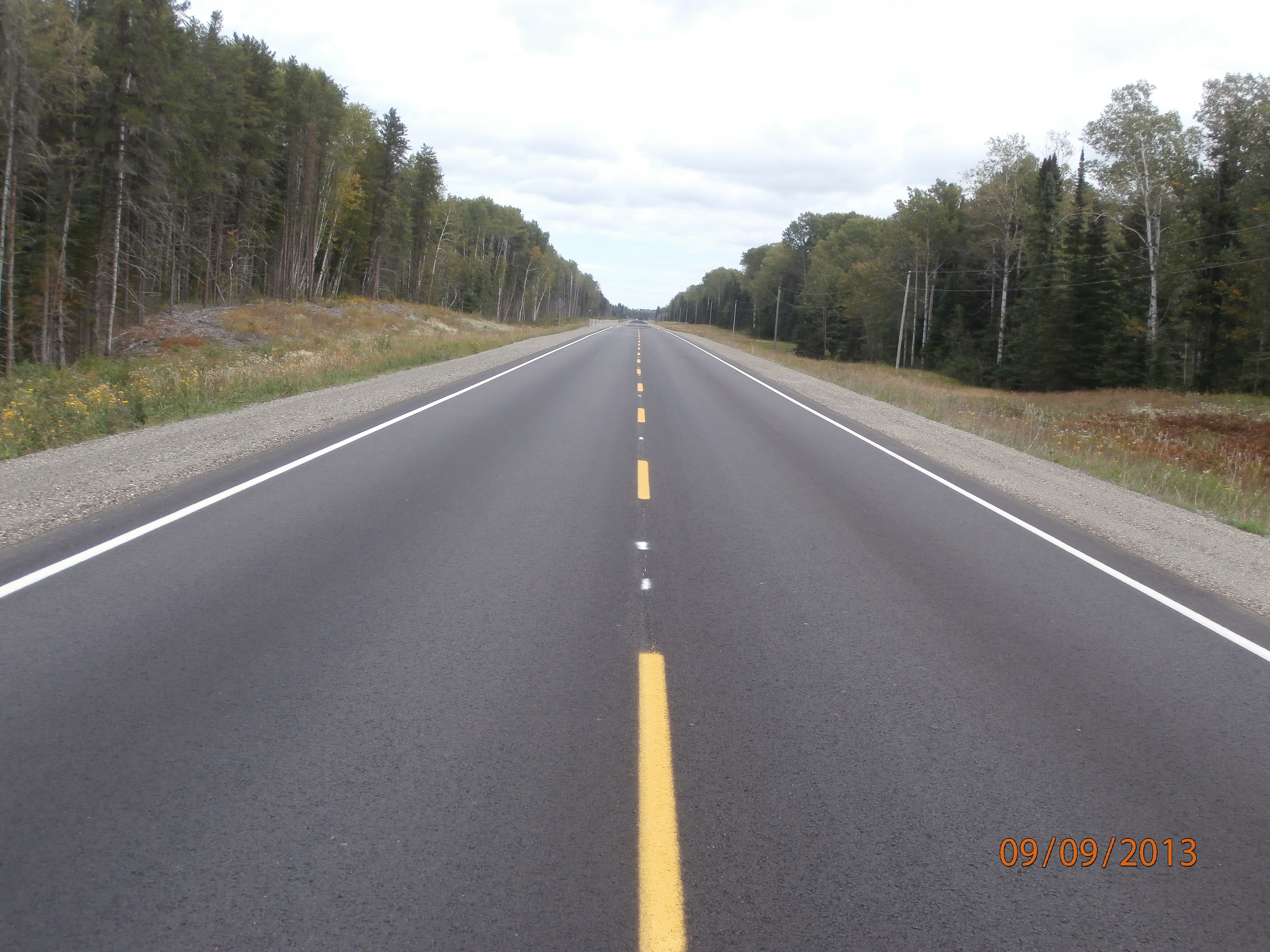
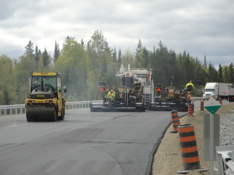
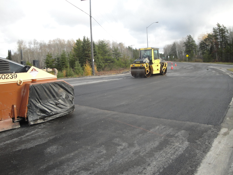
Contract: 2020-5030
Wawa, ON
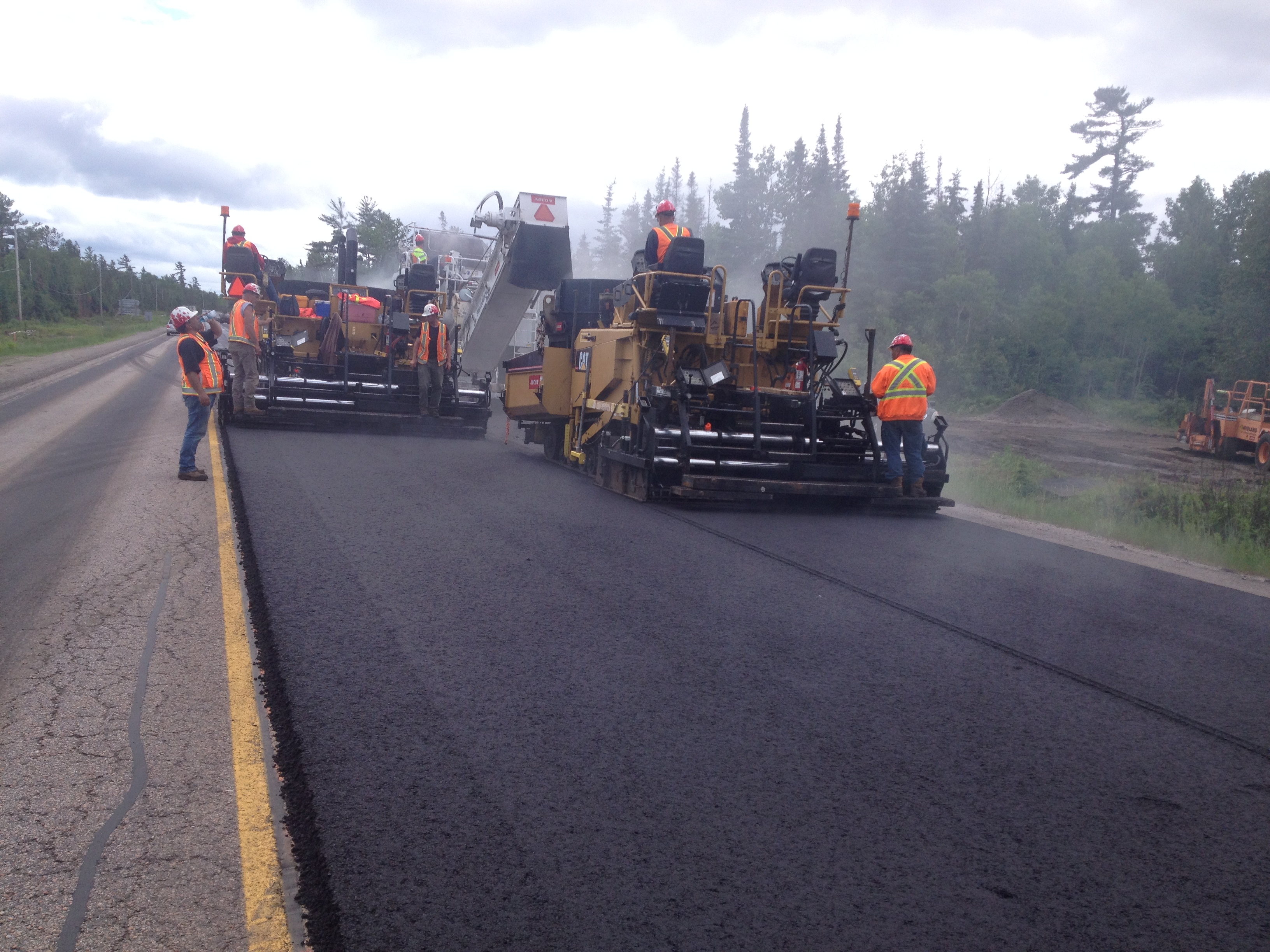
Highway 17 from 17.8 km west of Highway 519, Easterly 26.7 km
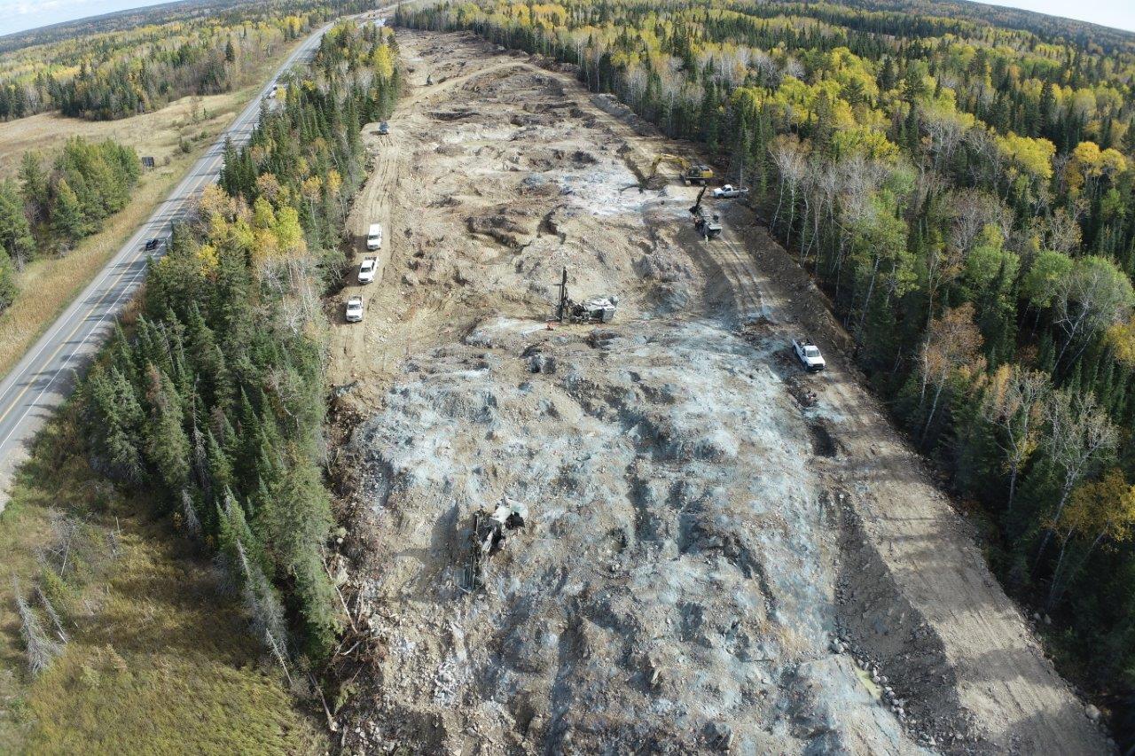
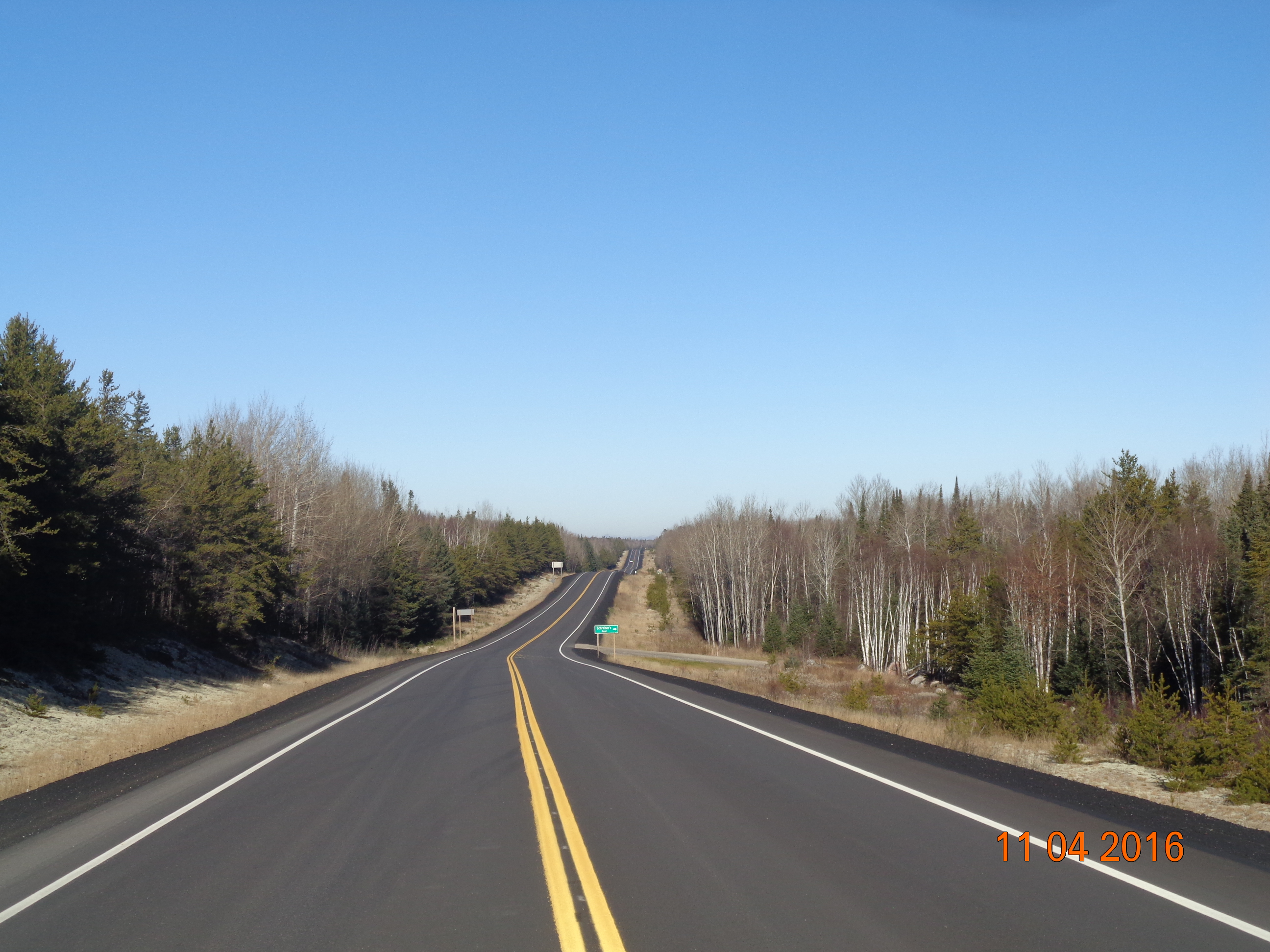
![Highway 11/17 from 2.83 km West of Ouimet Overhead Easterly 8.63 km [Four Lanning project], ON](/images/830b7a5fdb41/main.jpg)
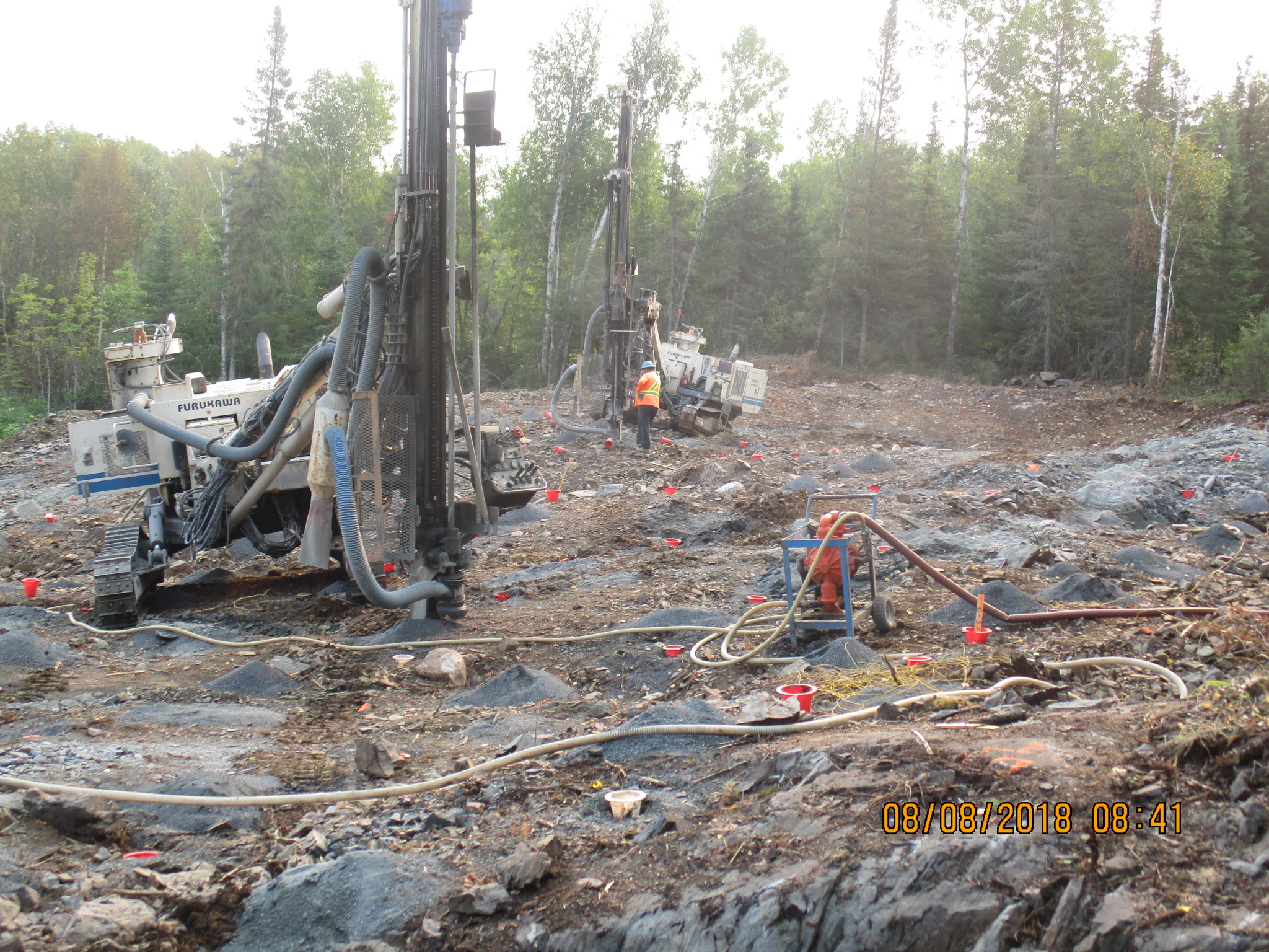
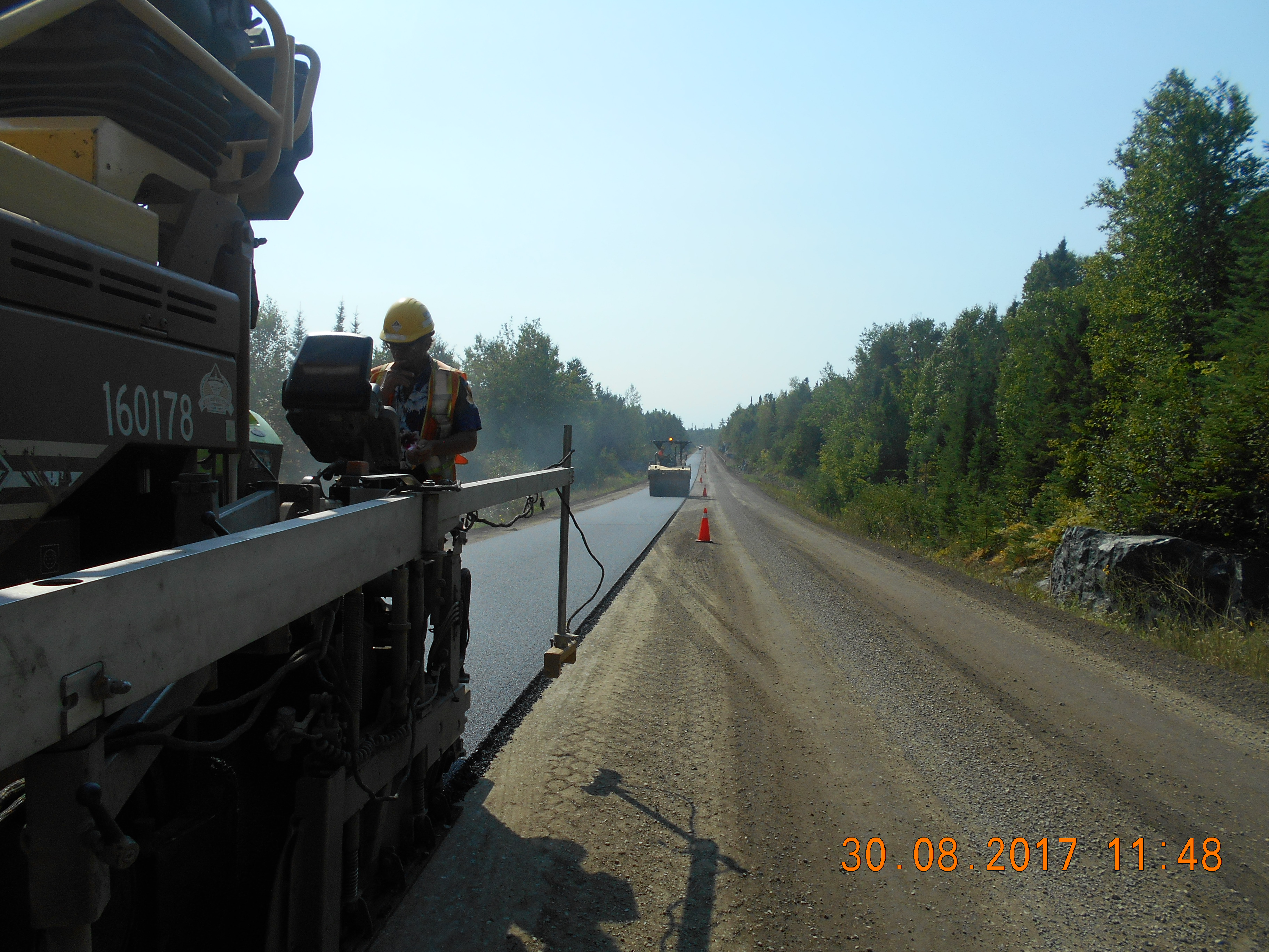
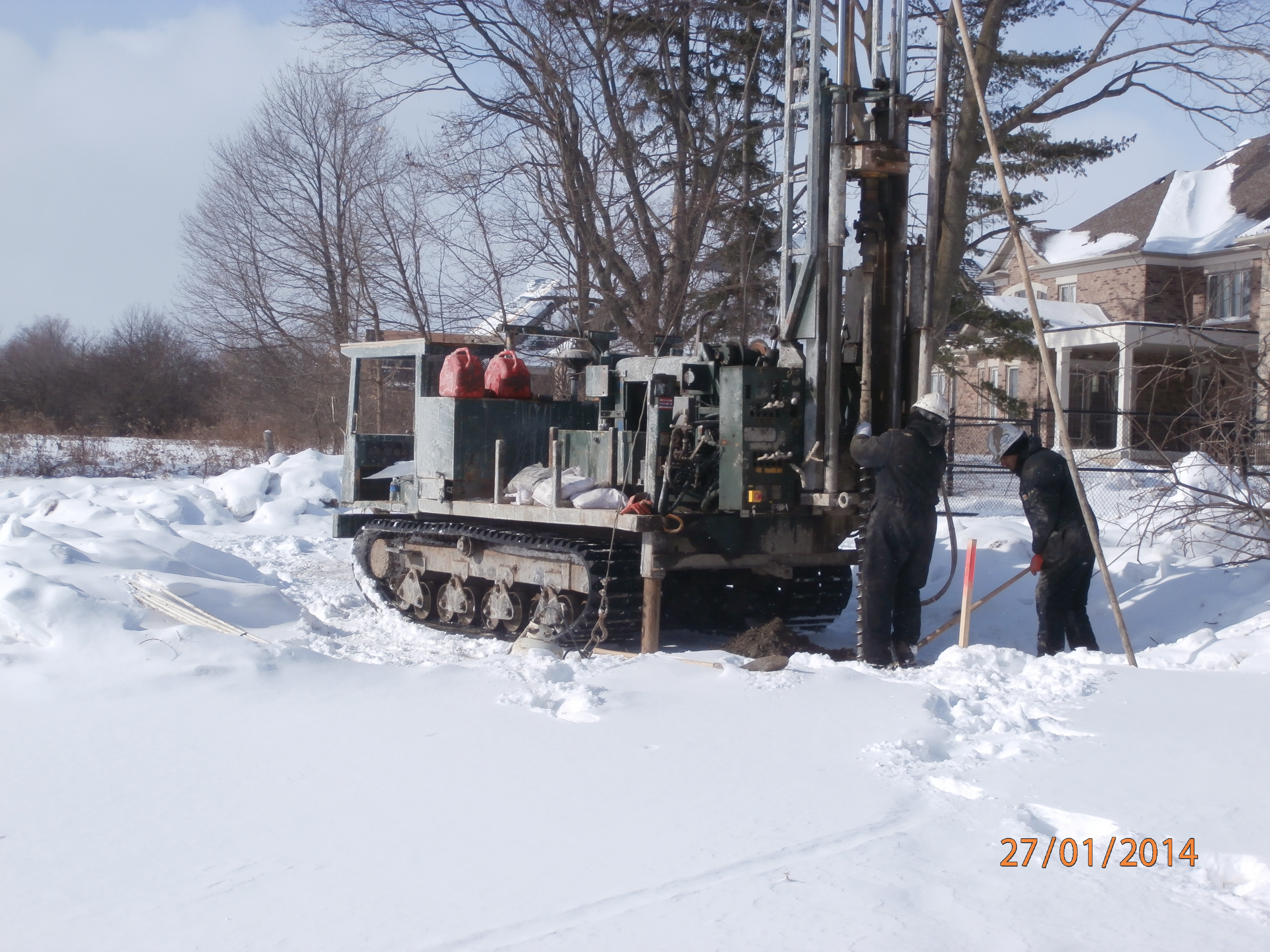
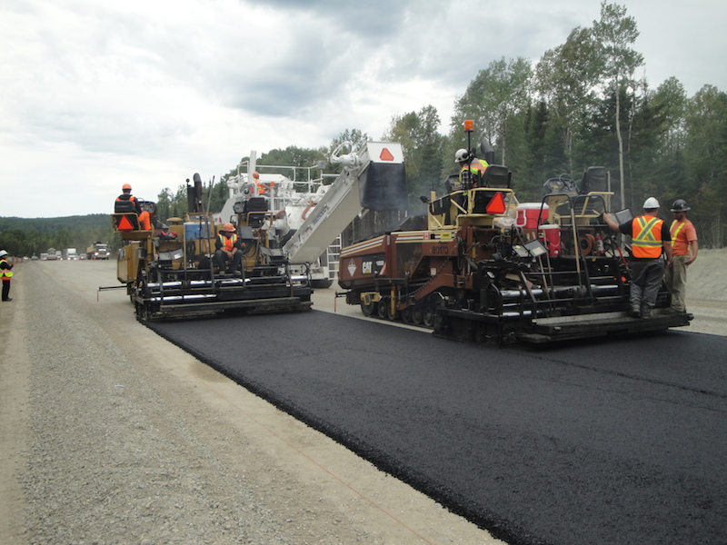
Contract: 2020-6031
Thunder Bay, ON
Highway 11/17 from 2.83 km West of Ouimet Overhead Easterly 8.63 km [Four Lanning project]

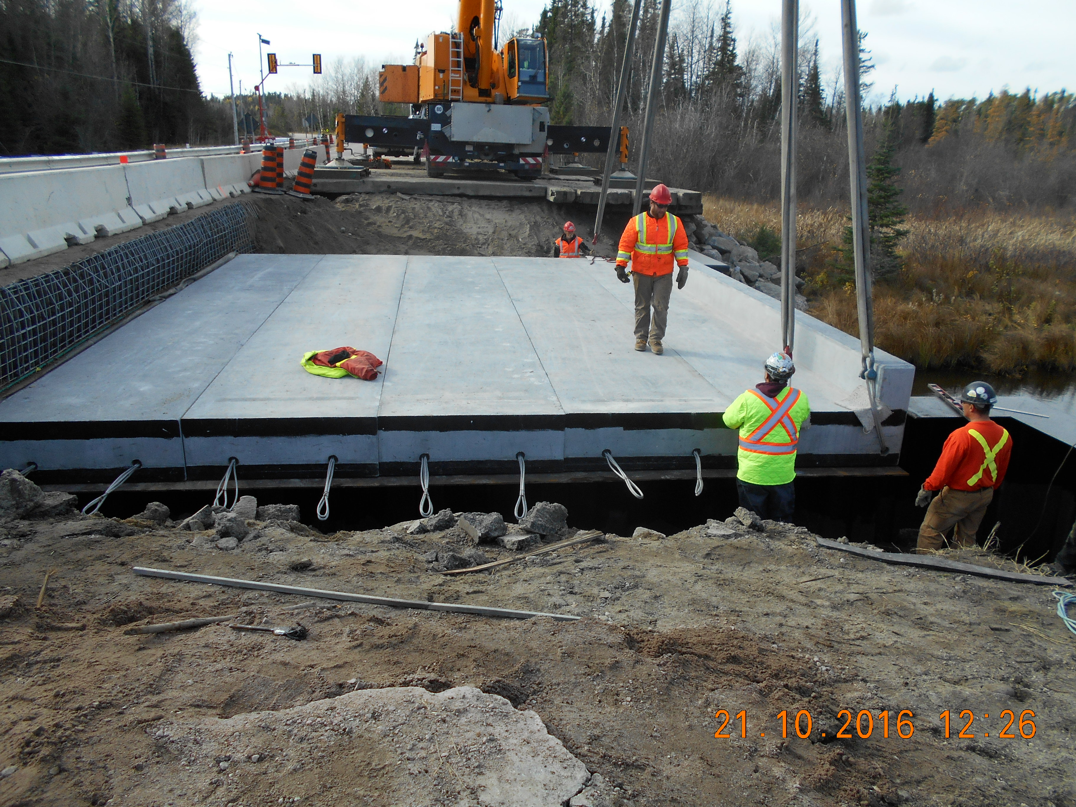
Contract 2019-6057
Kenora, ON
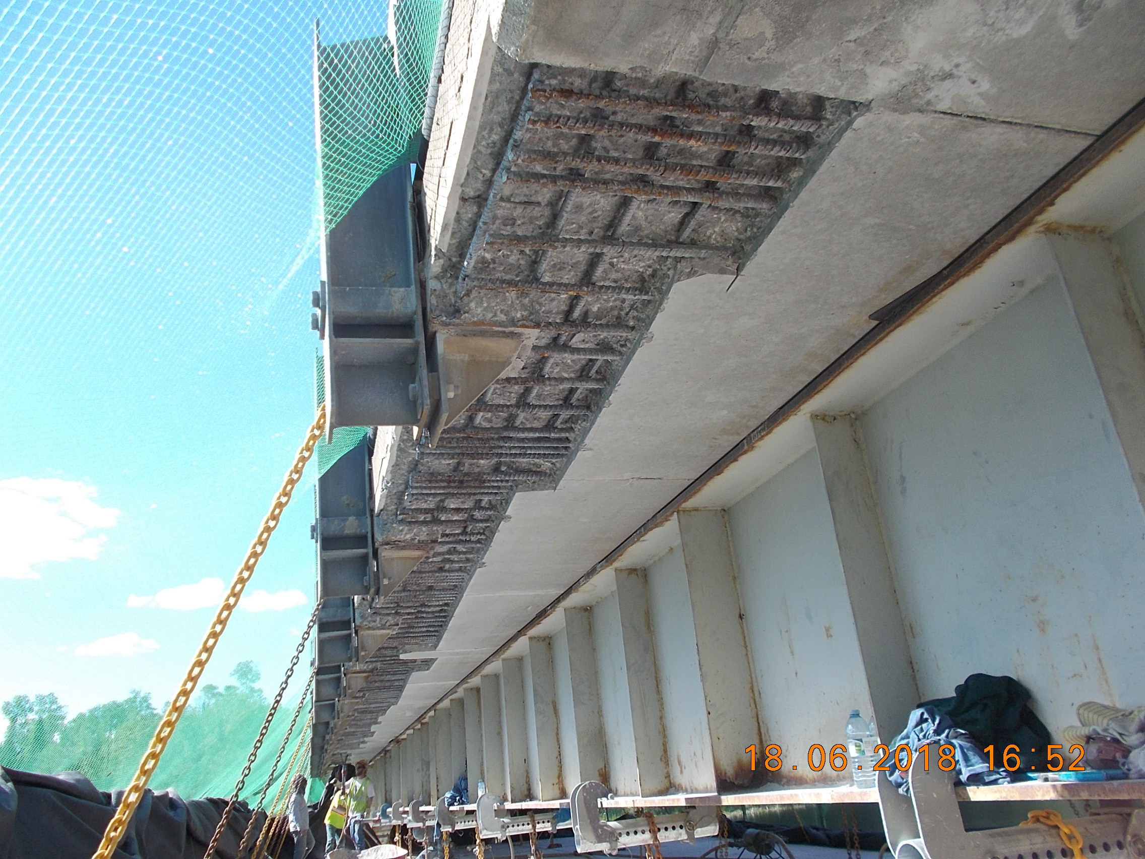
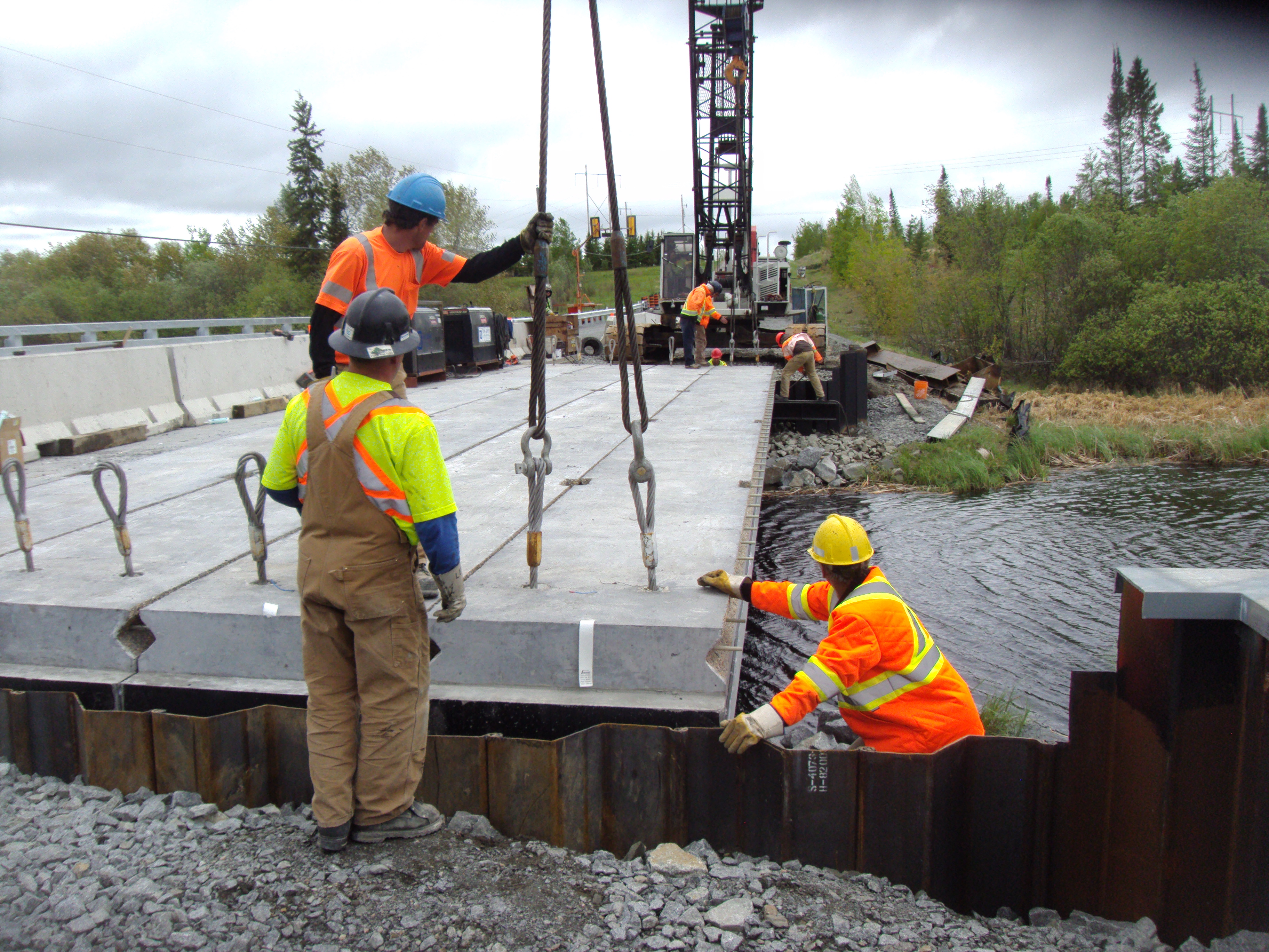
Winnipeg River Bridge West Branch (Site No. 41S-0124/B0) Winnipeg River Bridge East Branch (Site No. 41S0125/80) Ritchie Road Overpass (Site No. 41 S-0128/80), Hwy 17 A
Contract 2019-6007
Thunder Bay, ON
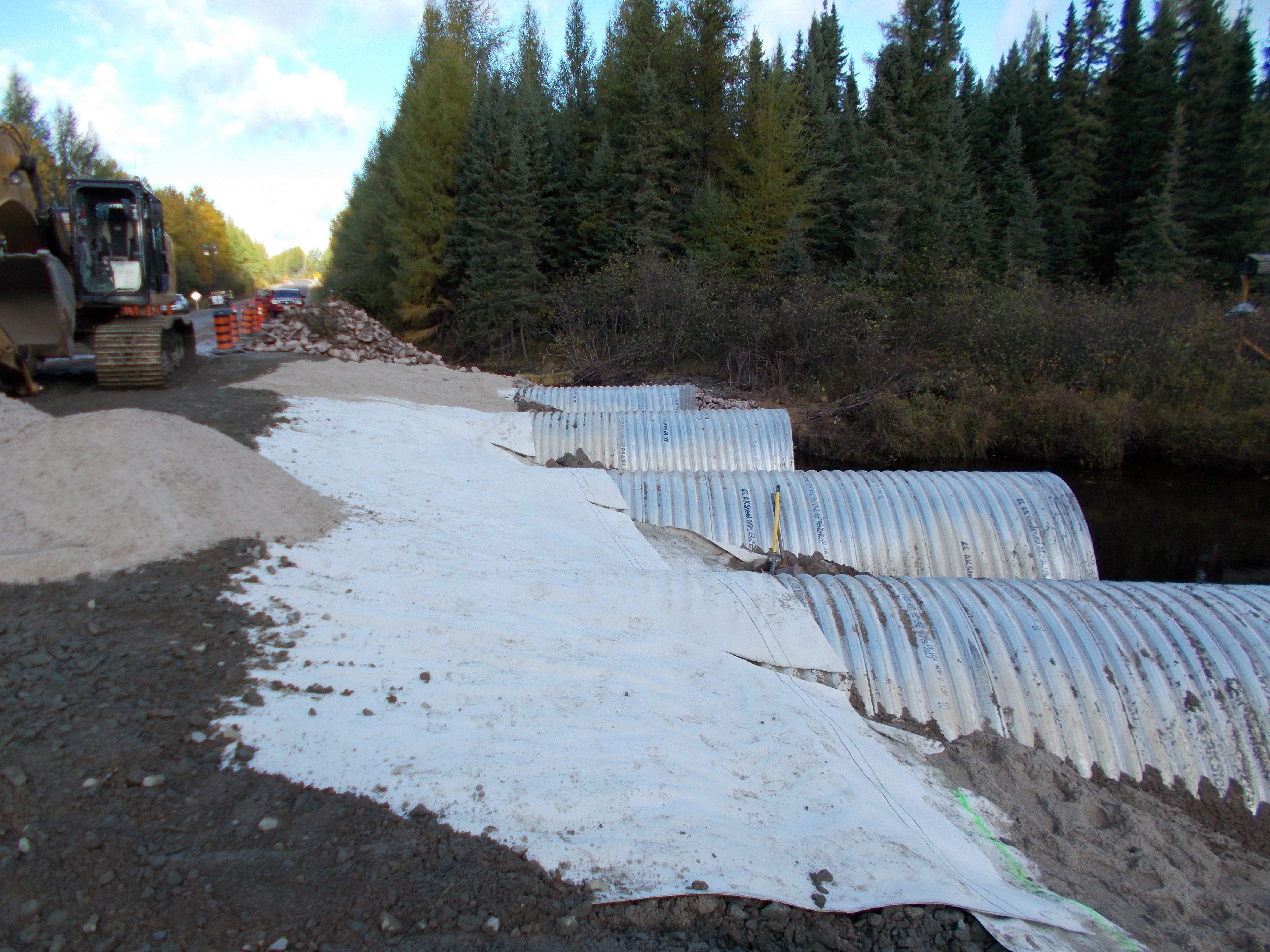
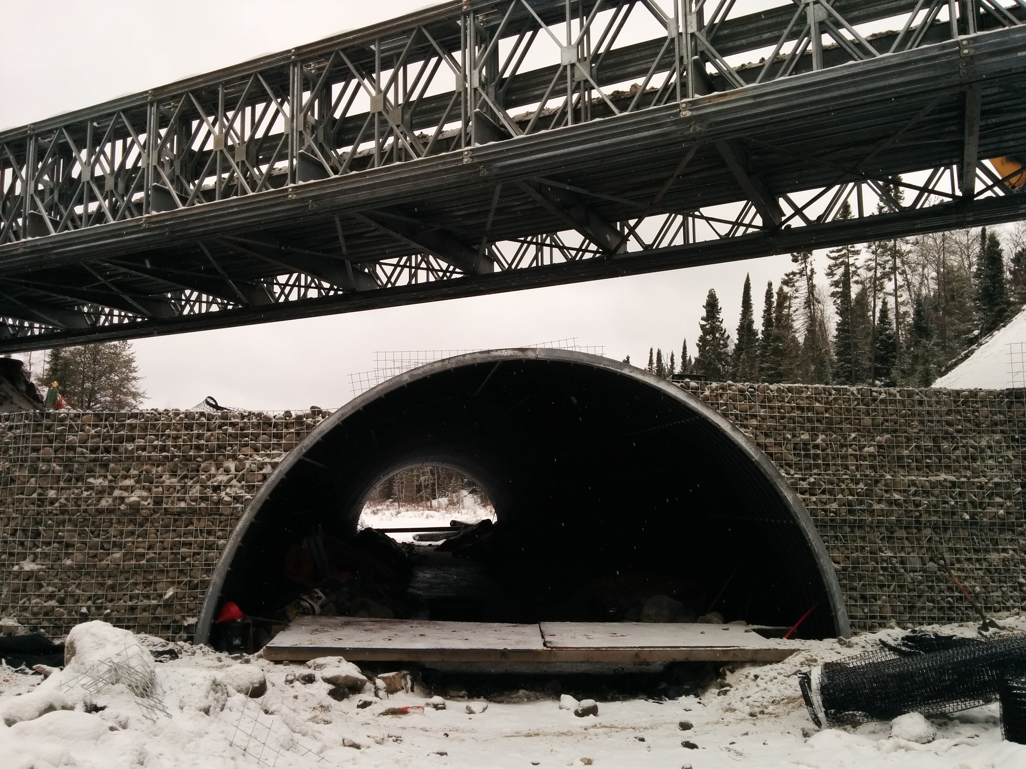
McIntyre Creek Culverts, 0.5km west of Dog Lake Road (Former Hwy 589) - Site 48C-341/C, Shebandowan Creek Culverts, 0.32km east of Highway 11/17 in the Township of Dawson Road Lots in the District of Thunder Bay – Site 48W-310/C

Contract 2018-6034
Fort Frances, ON
Highway 502 - from Highway 11 Northerly to 0.2 km North of Big Sawbill Lake Road
Contract 2018-6020
EMO, ON
Highway 11 at Sturgeon River Bridge, District of Rainy River, 8.5km West of Highway 71
Contract 2018-6019
Devlin, ON
Highway 602 - La Vallee River Bridge about 9.8 kms West of Highway 611
Contract 2018-6011
Kenora [Westhawk], ON
Manitoba/Ontario rest area (Tourism Information Centre); Hwy 17 approximately 5.2km west of Hwy 673
Contract 2018-6004
Thunder Bay, ON
Hwy 527, South Current River Culvert – Site No. 48C-217/C, approximately 28.4 km North of the Intersection of Highways 11/17 and 527
Contract 2017-6032
Pickle Lake, ON
NORT Road, from 0.5 km North of Pickle Lake Road Northerly for 62.5 km; Badesdawa River Bridge (Site No. 41S-102), 54.7 km North of Pickle Lake Road;
Contract 2017-6031
Atikokan, ON
Highway 11 - 16.5 km east of Highway 11B easterly for 30.6 km; Highway 622 - 8.3 km north of Highway 11B (Atikokan) northerly for 7.0 km; Highway 623 - from Highway 11 northerly for 5.1 km; Niobe Lake Culvert - (Site 48W-250/C)
Contract 2017-6013
Sioux Lookout, ON
Sturgeon River Bridge (Site #41S-077) - Hwy 642, 10.1km east of Hwy 516
Contract 2017-6014
Sioux Lookout, ON
Deception Lake Culvert (Site No. 41S-147/C), Hwy 516 approx. 15.2km from the junction at Hwy 642 at Sioux Lookout; Minnikau River Culverts (Site No. 41S-255/C), Hwy 642 approx. 36.6km from the junction of Hwy 72 & 516 at Sioux Lookout
Contract 2016-6006
Vermillion Bay, ON
Highway 105, from 0.7 km north of Highway 17, northerly for 30.5 km; and Highway 17, from 0.3 km east of Triangle Lake Road, easterly 1.1 km
Contract 2016-6270
Dryden, ON
Highway 17 From 0.5 km West of Highway 665 near Dryden, Westerly for 19.3 km
Contract 2016-6002
Dryden, ON
Highway 502 66.0 km North of the Junction of Highway 11 and Highway 502, Northerly for 38.5 km
Contract 2015-6048
Nestor Falls, ON
0.54km south of Andy Lake Road to 0.45km south of Highway 17
Contract 2016-6017
Perrault Falls, ON
Pickerel Creek Culvert on Hwy 105, 38.3km north of Hwy 105 & 609 Junction
Contract 2015-6044
Ear Falls, ON
Hwy 105 From 44.4 km North of Hwy 609 Northerly for 39.9 km
Contract 2015-6005
Fort Frances, ON
Hwy 11 from west limits of Fort Frances westerly for 17.6 km
Contract 2014-6023
Devlin, ON
Hwy. 613 - Munro River Bridge Replacement 16.9km North of Hwy. 11 & Hastie River Bridge Replacement 3.8km North of Hwy. 11
Contract 2014-6021
Thunder Bay, ON
Hwy 527 Merkley Lake Culvert - 105 km North of South Jct. Hwy 527 and Hwy 11/17
Contract 2014-5103
Marten River, ON
Hwy 11 - From 18.2 km South of Hwy 64 Northerly 27.6 km
Contract 2013-6002
Longlac, ON
From 0.5 km east of Hoiles Creek Bridge westerly for 20.5 km
Contract 2012-5125
Smooth Rock Falls, ON
Highway 11, from 10.9 km east of Junction Highway 581, easterly 28.7 km to Mattagami River Bridge
Contract 2012-5114
Matheson, ON
Highway 101 From 2.5 km west of Highway 672 westerly to Highway 572 for 33.8 km
Contract 2012-5109
Latchford, ON
Hwy 11 - From 7.6 km South of the Junction of Highway 11B Northerly 8.0 km, Including the Highway 11B Intersection